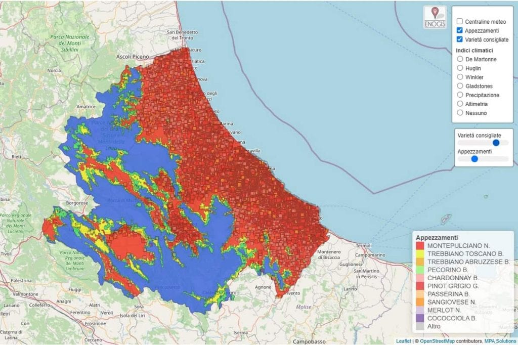
An intuitive map of the region's vineyards, providing valuable insights for winegrowers in their agronomic and production choices. The Abruzzo wine industry now finally has a detailed map identifying the area's suitability for viticulture. The credit goes to Ado Abruzzo – Areali delle quattro D.O. Abruzzo per una caratterizzazione moderna, a project led by the Consorzio di Tutela Vini d'Abruzzo in collaboration with Ager (Agriculture and Research), the results of which were presented in Francavilla al Mare on Monday, 10 March.
This extensive cataloguing and characterisation effort has mapped over 155,000 plots, covering a total of 33,964 hectares of vineyards, with 118 different grape varieties. The georeferencing of data and the use of big data (the Enogis platform has integrated various layers of information into a single map) have made it possible to achieve this result.
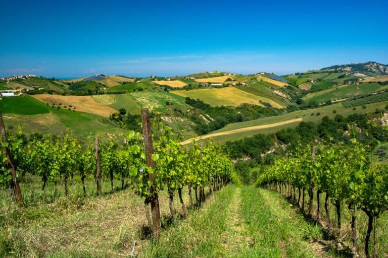
Abruzzo's Vineyard - photo credits Straccini
Montepulciano dominates
The Montepulciano grape dominates the region, covering over 52% of Abruzzo's entire vineyard area, followed by Trebbiano Toscano (14%), and then Trebbiano Abruzzese, Pecorino, and Chardonnay. However, according to the initial findings, around 1,770 hectares—equivalent to 5% of the region’s total vineyard area—do not have accurately identified grape varieties due to a lack of information or because they are abandoned lands.
The project, financed by the Agriculture Department of the Abruzzo Region as part of the 2014-2024 Rural Development Programme (Psr), also involved agricultural companies such as Chiara Ciavolich, Francesco Labbrozzi, Sandro Polidoro, Tenuta i Fauri, and Fratelli Cimini. According to President Alessandro Nicodemi, the study "will contribute to enhancing the quality of our region’s wines while also reducing the risks associated with poor business decisions."

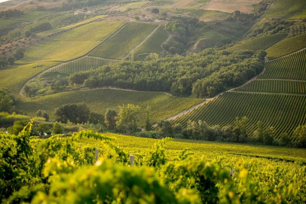
The Montepulciano d'Abruzzo grape variety
Vineyard mapping
Using the regional vineyard register (with data updated to 2023), the vineyards were mapped, complemented by regional soil cartography (with information dating from 1994 to 2006). Additionally, climate maps were created using twenty years of data (2001-2022), collected via satellite through the Copernicus project, which helped identify areas suitable for high-quality wines.
Through the Winkler Index, the most suitable grape varieties for each area were determined, while the De Martonne Index was used to identify regions favourable for viticulture based on the balance between temperature and precipitation (also using regional data from 47 automatic weather monitoring stations).
Abruzzo: a territory "suitable for vine cultivation"
According to the findings, Abruzzo has an index above 20, indicating a sub-humid climate suitable for vine cultivation. Within the platform, the territories have been classified by region, province, subzones, and municipalities, with statistics on soil distribution, vineyard exposure, altitude, and average slope.
The informational layers are freely accessible and available on the Consorzio's website. Additionally, a special module allows users to visualise suitability units and provides useful recommendations on the map for creating the most appropriate vineyard layout.
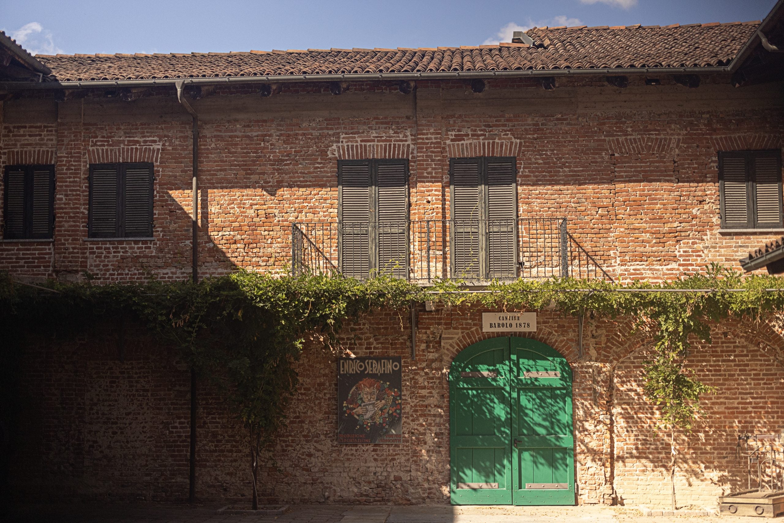 Certification, sustainability and sparkling wine: Enrico Serafino's story
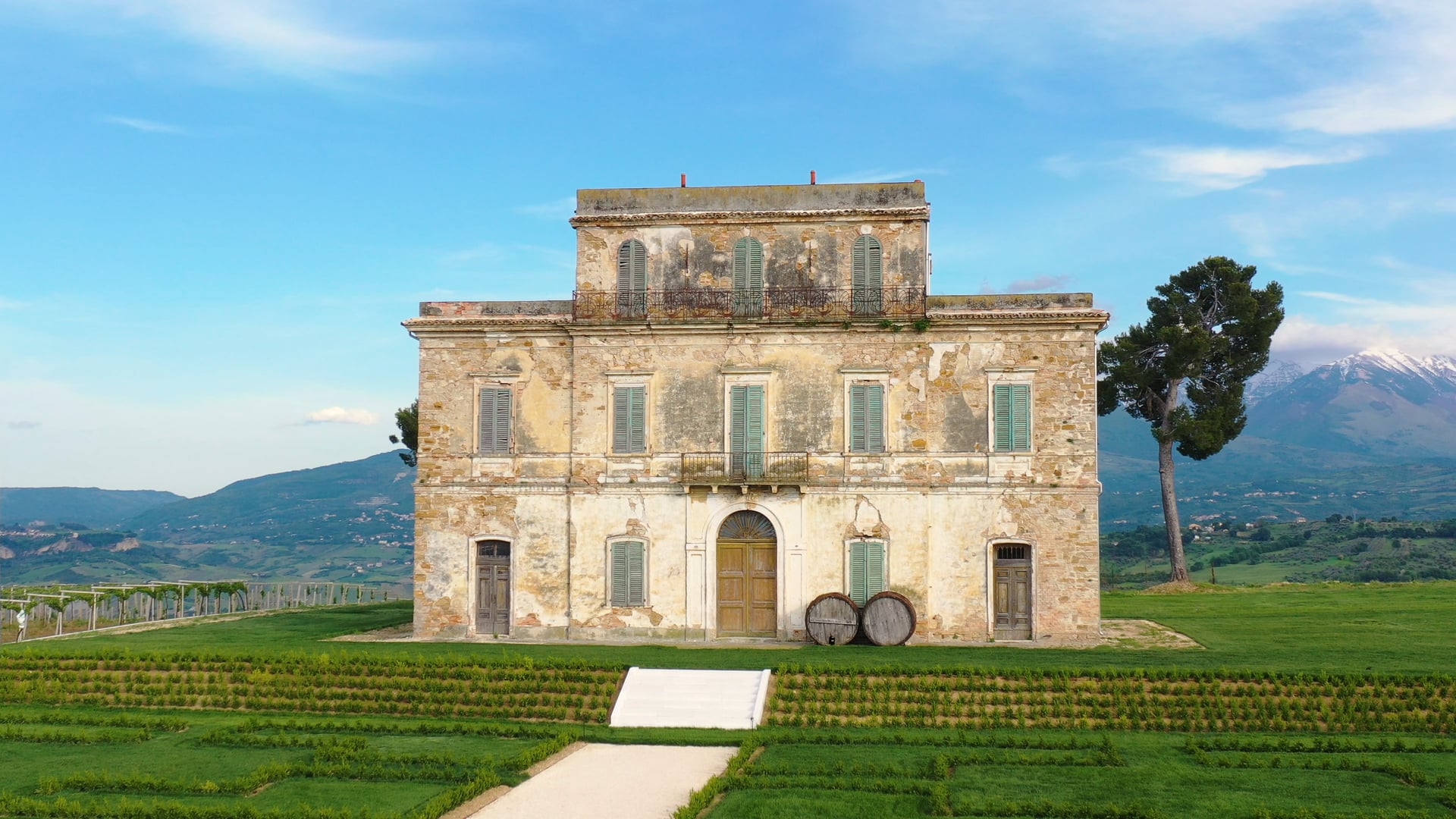 'Old vines are a fundamental part of the identity of this wine'
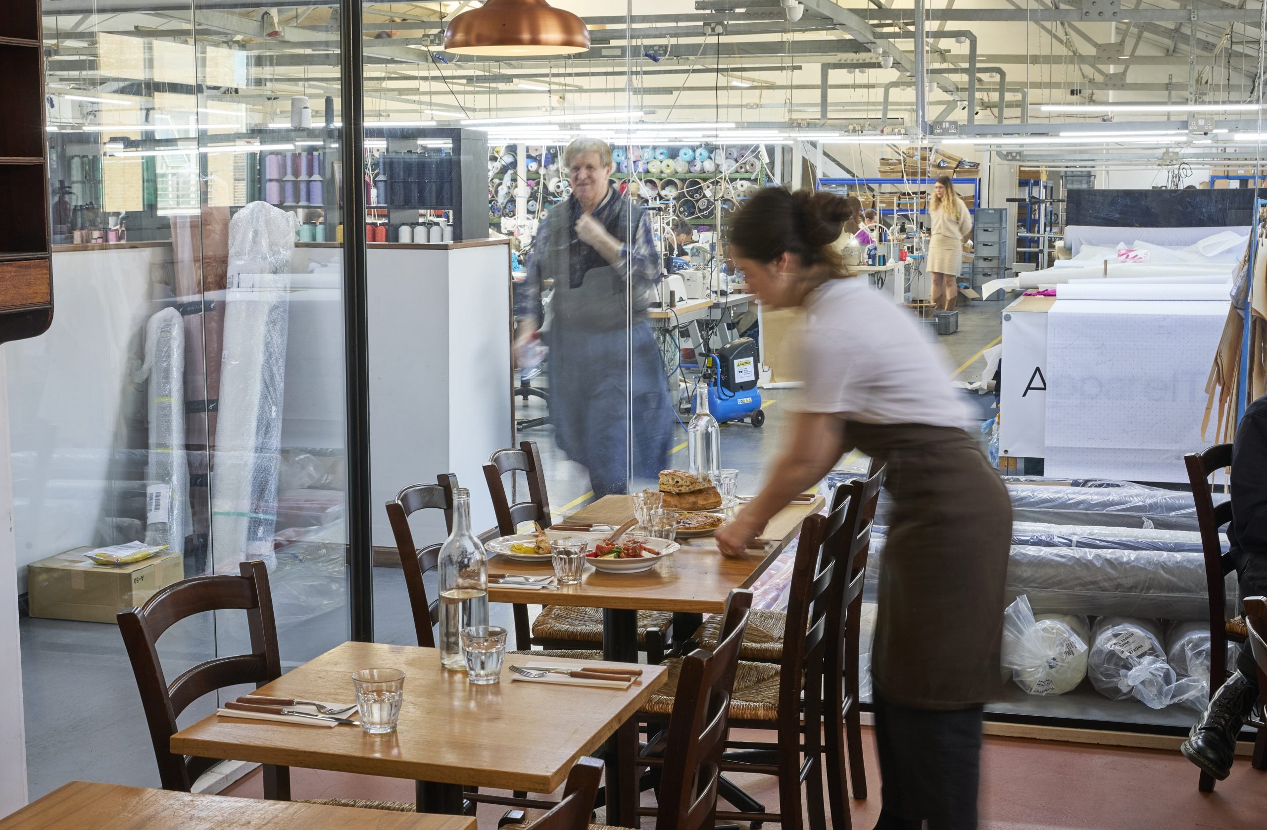 The Italian restaurant inside a clothing factory in London
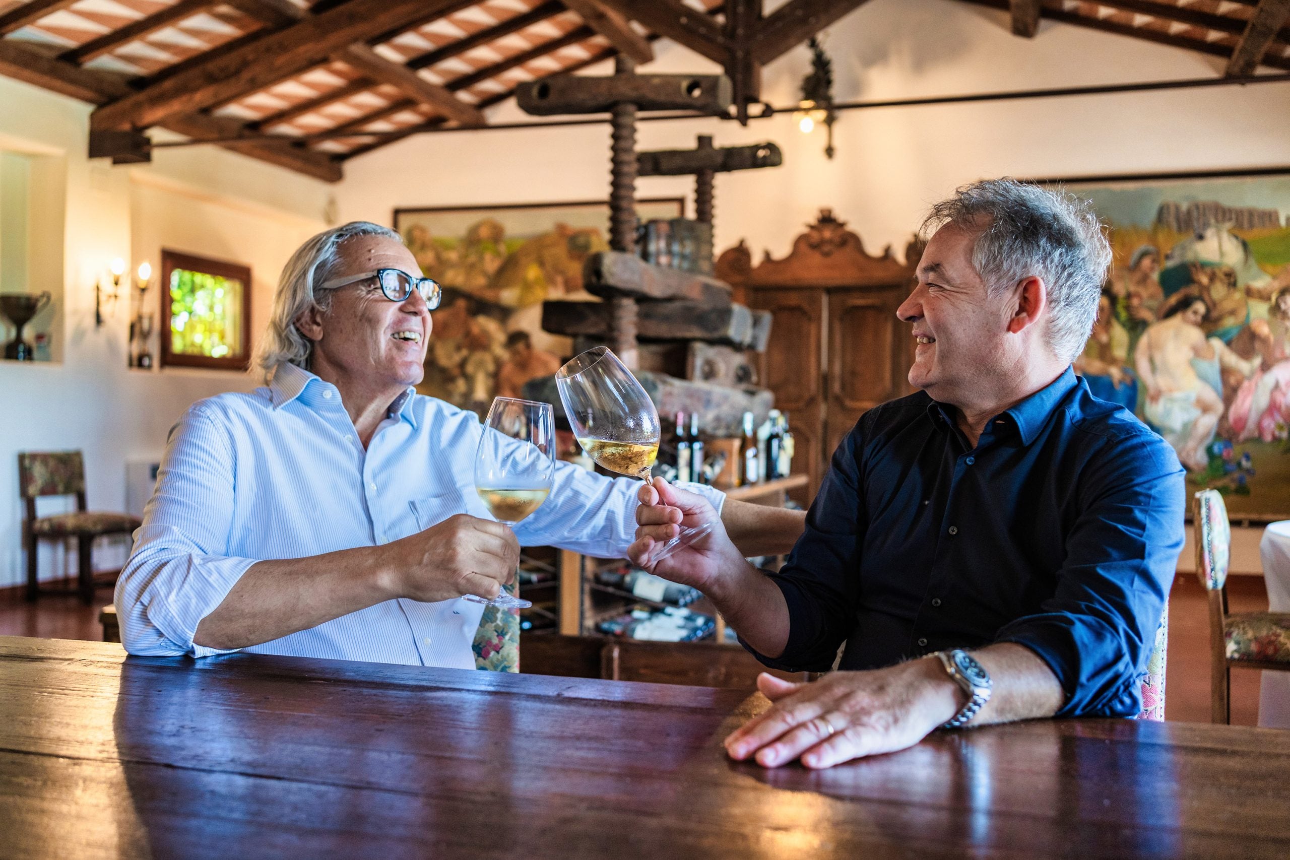 Equalitas, exports and breaking the rules – why Casale del Giglio works
 'You have to let British people fall in love with Italy'